

A new project creating an open-source initiative for data integration paves the way for a new chapter in wine production.
In the rapidly changing landscape of modern agriculture, creating a standard for digital mapping is fundamental for deploying tech onto farms. Digital maps enable valuable decision-making support to structured farming environments.
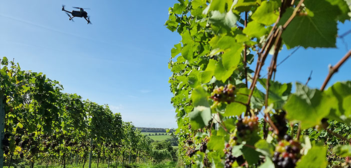
Defra’s Farming Innovation Programme and UKRI’s Transforming Food Production Challenge is supporting a new project: Vineyard Information System for Technology and Automation, or ‘VISTA’. This will create an open standard for digital maps of commercial vineyards in the UK and around the world, supporting the drive to deploy more automation and precision systems onto farms.
The project is led by a consortium of leading industry partners and will start by digitally mapping vineyards at the row and individual vine level, using JoJo’s Vineyard in Oxfordshire as a first test site. The project includes collaboration between tech experts from Agri-EPI Centre, crop mapping specialists from Outfield Technologies, roboticists from Antobot, viticultural consultants from Vinescapes, and robotic mapping researchers from the University of Lincoln.


